The Hidden Splendor airstrip provides access to a stunning wilderness area with rich history.
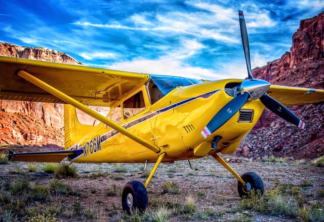
Mexican Mountain has always been one of our favorite airstrips to visit, in large part because of its location in the incredible San Rafael Swell area, in the backcountry of Utah. So we recently decided it was time to fly to another one of the premiere destinations in the Swell: the Hidden Splendor airstrip. We knew the airstrip and surrounding area had some fascinating history, and we’re always interested in promoting safe flying. So we decided to pack the camera gear along with us, and make a mini-documentary highlighting the Hidden Splendor area, and promoting safe flying to and from the airstrip.
(To view the video, click on the “Play” button in the banner image at the top of the article.)
What we found when we arrived was a fascinating glimpse of the US Uranium Boom from the 1950s and 60s. Rundown, dilapidated cabins, old rusted out cars, wells, mine tracks and other man made objects dotted the incredible red-rock landscape. Though Hidden Splendor was one of 5 extensive Uranium mines in the Swell, it was notable for producing the most pure ore. Where most mines produced ore .1 – 1% in purity, Hidden Splendor produced ore with nearly 28% purity straight out of the ground. This created heavy interest in the mine, and convinced Atlas Mining Corporation to purchase it from a prospector for $9 million dollars. During the most active mining period from 1954 – 57, when the Atlas put down the airstrip, it is estimated that between 500 – 1000 people lived in the area surrounding the airstrip and mines. Small cabins, rowhouses, and other structure covered the area, including a schoolhouse large enough to educate a few dozen children. After they pulled out in the late 50s, Atlas bulldozed or burned down most of the structures, and what remains is a small fraction of the operation at its peak.
If you are interested in flying to the airstrip, there’s a lot of great information in the video, as well as some addition details provided here, from the Utah Backcountry Pilots:
Hidden Splendor Airstrip Data
| Longest Rwy | |
| Direction: | 16/34 |
| Length: | 1910 |
| Width: | 20 |
| Surface: | Packed Dirt/Gravel |
| Condition: | Very Good |
| Usable: | Yes |
| Latitude: | 38°34.116 | N | |
| Longitude: | 110°57.436 | W | |
| Elevation: | 4,819 | Ft MSL | |
| UNICOM: | 122.900 | MHz | |
| Windsock: | Yes | ||
| Camping: | Yes | ||
| Updated: | 11/4/2008 | ||
| Comments: | |||
| RWY 34 is uphill 1.62%. This airstrip is usually in good condition, smooth and dry. It is still one of Utah’s most hazardous airstrips. Both ends of the airstrip terminate at a cliff edge so landing either too short or too long would likely be fatal. Parts of the airstrip are also narrow with drop-offs off the edge of the runway. There is rising terrain in every direction. It is a narrow canyon to the south east. The terrain to the North West is looks gentle but rises at a deceptive rate. Use caution for canyon winds, vehicle traffic, animals and pedestrians. | |||
The closest airport to the Hidden Splendor airstrip is Hite Airport (HVE), in Hanksville, roughly 14.7 nm to the Southeast. However, be aware that this airport is not able to provide avgas. If you need fuel on the way in or out, here are three of the closest airports that have avgas:
Green River Municipal Airport, (U34) roughly 41.5 nm to the Northeast
Huntington Municipal Airport, (69V) roughly 47.6 nm to the North
Canyonlands Field Airport, (KCNY) roughly 71 nm to the East
We hope you enjoyed the Hidden Splendor airstrip video, and wish you a safe journey if you decide to fly to this incredible backcountry destination.